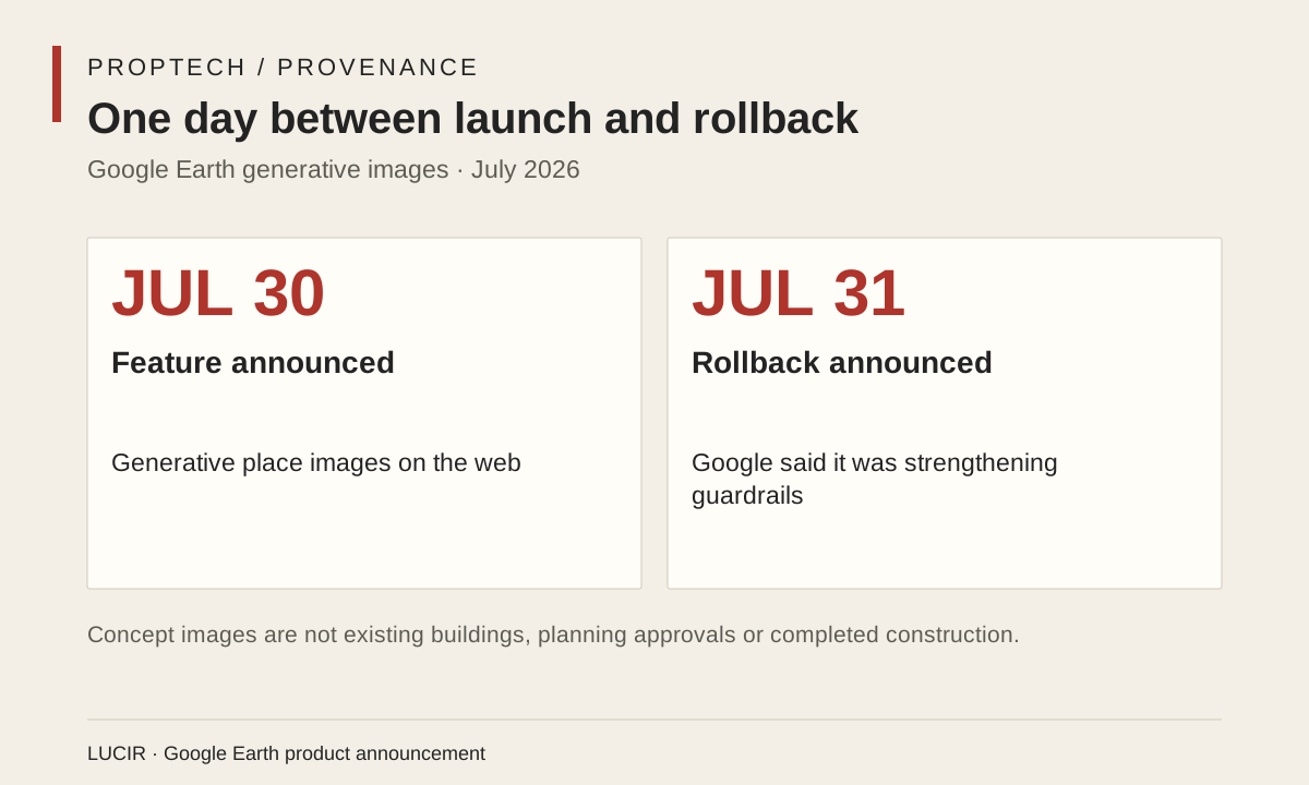
On July 30, Google introduced a Google Earth feature that let web users create generative images in a chosen place, including visualizations of an empty lot or a proposed real-estate project. The next day, Google said it was rolling the feature back while it worked on stronger guardrails. That reversal is the actual 2026 development worth studying. It shows the tension between a useful visualization tool and a public map people are trained to treat as evidence of the physical world.
Google’s original examples included imagining a community garden, a retail district or a home on an open lot. For an architect, tenant advocate or small developer, a quick visual can help make an idea discussable. Images can help people see why a proposal may change shade, access, streetscape or use of land. The risk begins when a generated proposal travels outside that original conversation. A screenshot can lose its interface, prompt and label as it is reposted, and a speculative building can start to look like a document of what exists or what has been approved.
Google stated that generated images were watermarked as AI-made and did not appear in the main Google Earth experience for other users. Those constraints matter, but the company also said it had seen screenshots shared in ways that appeared to violate its policies. The rollback recognized a basic fact of platform culture: a label inside one product does not necessarily survive copying, cropping or resharing. This is particularly consequential in housing, where a visual can influence expectations about property value, development pressure and neighborhood change.
The lesson is not that residents should be shut out of visualization tools. Communities often need accessible ways to picture alternatives before a project is built. The question is whether the tool preserves a visible boundary among existing conditions, a concept image, a permitted plan and a completed project. A person considering a home or storefront needs all four categories to remain distinct. A developer’s rendering has a different status from a public record; a map interface should not make the distinction harder to see.
For Latino neighborhoods facing rapid attention from investors or planners, the stakes include who gets to circulate an image of the future and who has the opportunity to contest it. A useful proptech product would pair a visualization with durable disclosure, provenance and links to relevant public process—not merely add a watermark that disappears in a screenshot. Google’s one-day correction does not solve that design problem. It does establish a concrete standard for evaluating the next spatial-AI launch: speed and visual polish are insufficient if viewers cannot tell imagination from place.