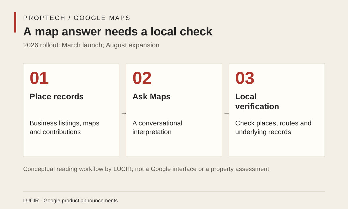
On March 12, Google announced Ask Maps, a conversational feature that combines Gemini models with Google Maps data, alongside an Immersive Navigation update. The product pitch is practical: a person can ask a location-based question in ordinary language, then receive an answer that draws on the map’s evolving record of businesses, roads, parking and community contributions. For housing, the significance is less about a new way to ask for a coffee shop than about how neighborhood research is being folded into a single interface.
Buying, renting or opening a small business already involves a scattered set of judgments: whether an address is reachable, what is nearby, where visitors can park, and how an area changes at different times. Google says Ask Maps is rolling out in the United States and India on Android and iOS, while Immersive Navigation begins its U.S. rollout. In August, the company said Ask Maps was expanding to Brazil, Canada, Mexico and other markets. Those dates matter. They describe a staged product rollout, not a guarantee that every question or market has the same data quality.
For a renter or first-time buyer, conversational search can lower the technical barrier to exploring a place. A question such as whether a route is workable after work is more human than a bundle of filters. But a conversational answer is still an interpretation of records Google holds or receives. Business owners who can maintain a visible profile, residents who contribute reviews, and areas that receive frequent mapping attention may be easier for the system to describe. Communities with thinner digital records can be rendered as less knowable even when they have dense local knowledge.
That is an ownership question as much as a convenience question. When a map becomes an assistant, its recommendations can shape where attention, customers and prospective residents go. Latino entrepreneurs and neighborhood organizations have a reason to treat official business information, accessible addresses and accurate community descriptions as public-facing infrastructure. That does not mean asking any group to repair a platform’s data gaps alone. It means recognizing that inaccurate or absent place information can affect economic visibility.
Google says Maps receives more than 10 million driver contributions each day, and the company describes its mapping information as fresh and real-world. Those are scale claims, not proof of equal representation. The responsible use of Ask Maps is therefore two-part: use it to frame questions, then check the underlying places with local reporting, direct calls and a visit where the decision warrants one. A smoother interface can make neighborhood discovery faster; it cannot turn a platform summary into a complete account of a community.